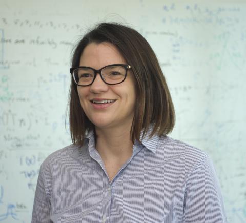
Primary supervisor
Sarah GoodwinResearch area
Embodied VisualisationVisualisation can help unravelling the complex urban fabrics that form our cities. Yet there is a critical need to bridge the gap between the flood of urban data and the capacity of decision makers to integrate that data into effective and informed decisions.
This Phd research area focuses on human-centred urban visual analytics and seeks to understand how visualisations can be used to better serve, understand or organise urban processes. The research may involve different stakeholders from governments and companies to local citizens for data driven decision making and could be interdisciplinary in nature. It could seek to develop suitable theoretical frameworks or visualisation techniques that focus on issues of scale for instance. Specific applications to be proposed by PhD applicant, or may be tailored to the Monash Net Zero Precinct initiative, but are expected to contain spatio-temporal data analysis and novel visualisation techniques. Topics might be related to urban mobility, disease mapping, or infrastructure such as transport or network analysis. See CityVis - exhibition and workshop information, to see some of the on going work in this area.
This project seeks to better understand urban data landscapes and contextualise this data more effectively in compelling and novel ways.
Co-Supervisers will depend on the candidate and the project put forward.
Project hashtags: #cityvis #geovis #datavis #DVIALab #phd
Required knowledge
Knowledge and interest in human-computer interaction, geospatial analysis, GIS, data analysis and information visualisation
Degree (Hons or Masters) in Computer Science or equivalent.
